Whether in GIS or DGGS, the goal is digitalization—modeling spatial information, storing it in memory, performing analysis or statistics, and visualizing results. Modeling simplifies real-world complexity to make analysis possible. For example, the Earth’s surface is not a simple shape. Even using a geoid to represent it still results in a complex surface. To make computations feasible, scientists use simplified models like ellipsoids or spheroids. When we talk about the advantages of DGGS, we are evaluating how well it simplifies and structures spatial data without sacrificing fidelity.
Advantages of DGGS:
- Precise and discrete location referencing
A spatial position is located using a finite, unique cell address at a certain resolution level. This eliminates rounding errors and supports consistent, accurate storage and querying.
- Lat/lon coordinates are stored as floating-point numbers, which are inherently imprecise and cannot represent dimensionless points exactly.
- Floating-point comparisons can result in semantic errors during equality tests.
- All digital representations are ultimately discrete; DGGS embraces this rather than approximates it.
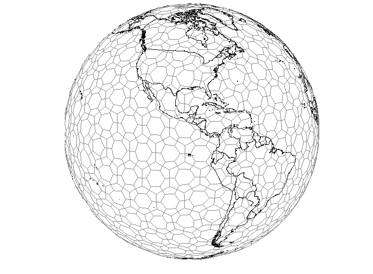
- Uniform spatial resolution
DGGS cells are refined in a way that maintains almost equal area at each resolution. Each digit in a DGGS index corresponds to a precision level.
- Traditional grids like graticules or Web Mercator tiles have cells that vary in shape and size, leading to inconsistent spatial resolution and analysis challenges.
- Congruent geography for attributes
Spatial attributes like land cover, temperature, and elevation align directly with DGGS cells.
- Traditional GIS slices space into thematic layers, which complicates location-based queries and requires extra effort to retrieve data from multiple layers.
- Geodesic foundation supports more accurate analysis
DGGS uses spherical geometry that considers Earth’s curvature, reducing errors from map projections.
- Traditional vector and raster models operate in flat, Euclidean space and are subject to distortion, especially over large areas.
- Hierarchical and multi-resolution structure
DGGS supports analyses at multiple granularities using a consistent and systematic refinement structure.
- Traditional GIS lacks a quantitative, systematic definition of spatial scale and typically analyzes data at a single resolution.
- No discontinuities at poles or across longitudes
DGGS eliminates gaps and overlaps by treating the Earth as a continuous surface.
- Traditional projections often require special handling for polar regions, fragmenting the spatial model.
-
Unified data model for integration
DGGS offers a format-independent framework to transform, align, and compare data from different sources without relying on original coordinate systems.
-
Well-suited for parallel computing
The discrete and independent nature of DGGS cells makes it easy to divide tasks for high-performance computing.
- Distortion-free display and interpretation
Because all parts of Earth’s surface are treated consistently, DGGS supports fair and accurate visual representations.
- Projections in traditional GIS introduce distortions in area, shape, or distance that users must interpret carefully.
DGGS is not just another type of grid system. It is a powerful, structured approach to modeling and analyzing spatial information—designed for the Earth as it is, and for the data as we use it.