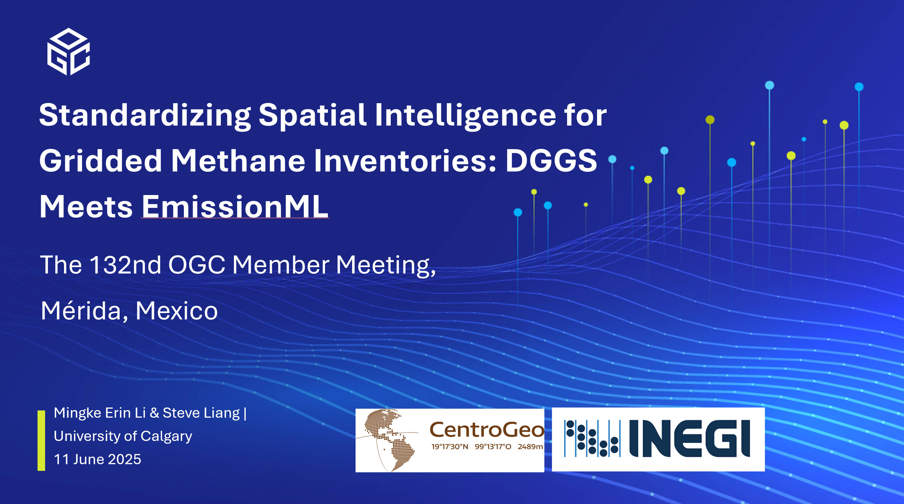
At the 132nd OGC Member Meeting in June 2025, I had the opportunity to present our recent research on methane emissions at two sessions, highlighting how Discrete Global Grid Systems (DGGS) can enhance the spatial consistency and analytical capabilities of gridded methane inventories, and how this approach can be integrated into the emerging EmissionML and OGC DGGS API standards.
Beyond the Graticule: DGGS for Spatially Explicit Methane Inventories
Session: Discrete Global Grid Systems DWG
Date: Monday, June 9, 2025
Location: Online (KABAH Room)
In this presentation, I introduced our latest work titled Beyond the Graticule: Spatially Explicit Methane Inventories Using Discrete Global Grids. The talk focused on the limitations of traditional graticule-based emission inventories, particularly in high-latitude regions where latitude–longitude grid cells distort area and complicate spatial analysis.
I demonstrated how DGGS offers a globally consistent, equal-area spatial framework that improves the representation and comparability of methane emissions. By assigning emissions and supporting metadata directly to DGGS cells, we can achieve more robust hotspot detection, support hierarchical aggregation, and enhance visual clarity across all scales.
Standardizing Spatial Intelligence: DGGS Meets EmissionML
Session: EmissionML SWG
Date: Wednesday, June 11, 2025
Location: Online (KABAH Room)
In this session, I presented Standardizing Spatial Intelligence for Gridded Methane Inventories: DGGS Meets EmissionML, which extended our DGGS-based work toward semantic and technical integration with OGC’s EmissionML initiative. The goal was to explore how EmissionML, a standard being developed to structure emission data using linked concepts, can incorporate DGGS as a core spatial referencing mechanism.
We also discussed how the OGC DGGS API specification can enable machine-readable access to DGGS-indexed methane data. Together, DGGS and EmissionML could support interoperable, spatially explicit inventories that are better aligned with both satellite-based monitoring and bottom-up reporting systems.
These sessions marked an exciting step forward in bridging geospatial infrastructure with environmental intelligence. I look forward to continued collaboration within OGC on standardizing how methane data is modeled, stored, and shared through spatially rigorous and API-driven frameworks.