Inadequate Spatial Grids Limit Climate Action on Greenhouse Gases.
The Problem with Current GHG Inventories
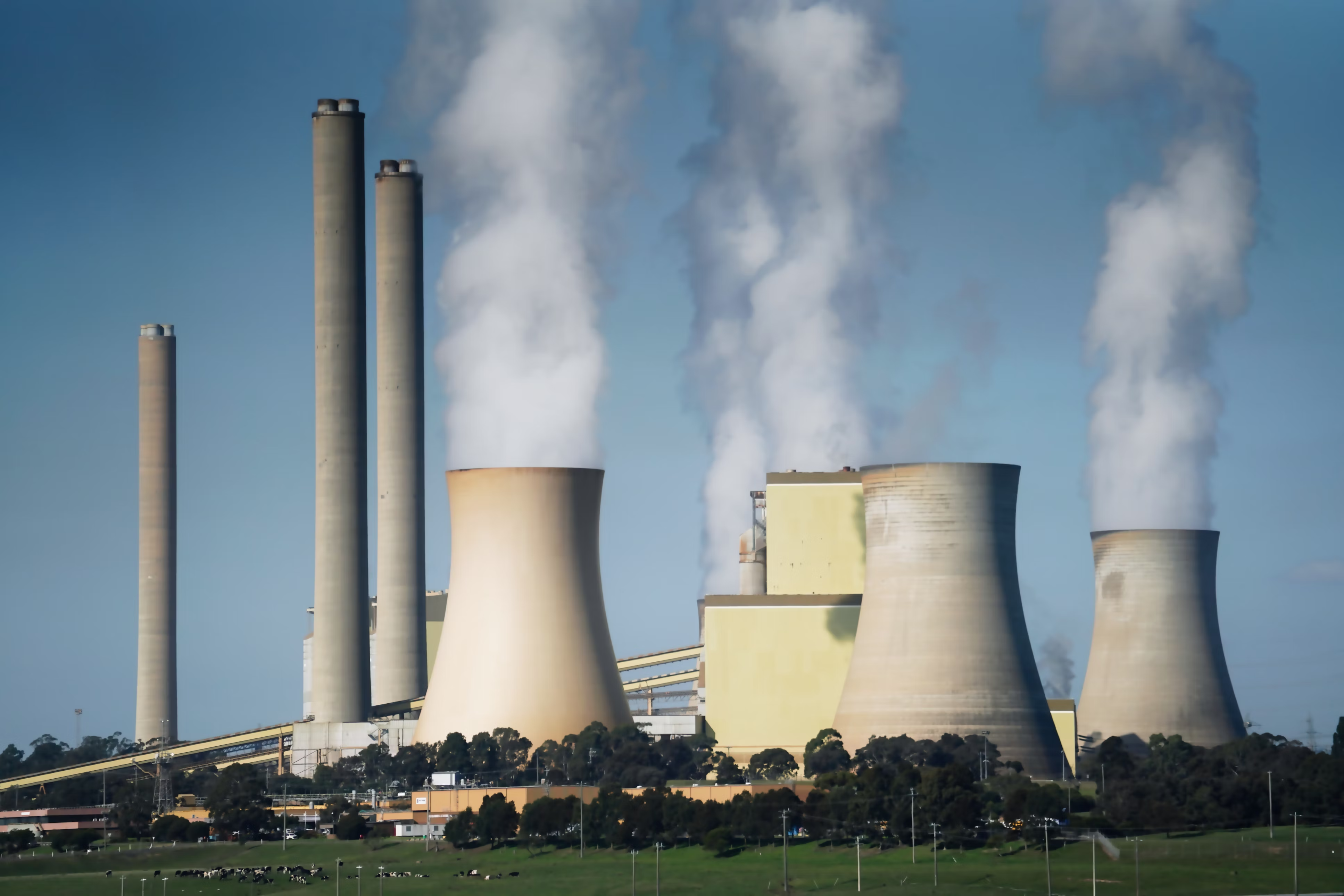
Efforts to monitor and mitigate greenhouse gas (GHG) emissions rely heavily on spatial inventories. However, many existing GHG inventories suffer from critical limitations that reduce their effectiveness and complicate coordinated climate action. These issues include:
- Spatial Inconsistency: Inventories are built using a variety of spatial references and resolutions, making them difficult to align or compare.
- Poor Georeferencing: Some datasets lack precise spatial tagging, leading to ambiguity about emission sources and locations.
- Integration Challenges: Data from different jurisdictions or sectors often follow incompatible spatial schemas, making it difficult to combine for regional or global assessments.
The Pitfalls of Latitude–Longitude Grids
Many gridded methane inventories adopt latitude–longitude grids (also known as graticule grids), where the size and shape of each cell vary with latitude. While these grids are simple to implement, they introduce several serious problems:
- Inflated Emission Densities in High Latitudes: Because the cells shrink in size toward the poles, emissions appear denser than they actually are, misleading prioritization.
- Impaired Inter-Cell Comparisons: Unequal cell sizes make it impossible to directly compare emission levels between cells without complex area normalization.
- Distorted Visualization: The varying cell shapes skew maps and visual outputs, complicating interpretation for both experts and the public.
Broader Spatial Issues
Beyond the shortcomings of latitude–longitude grids, several broader spatial challenges persist:
- Ambiguous Spatial Scales: There is often no clear and quantitative definition of what constitutes a “site,” “facility,” or “urban area,” making cross-scale analysis problematic.
- Multi-Source Data Integration: Satellite, airborne, and ground-based observations must be fused to generate comprehensive inventories—but this is difficult without a common spatial framework.
The Way Forward
To enable accurate accounting, policy alignment, and international coordination, GHG inventories must evolve. A spatial framework that is:
- Equal-area (to avoid distortion),
- Hierarchically structured (to support multi-scale integration),
- Globally consistent (to unify diverse data sources),
…is not just a technical upgrade; it’s a prerequisite for effective climate action.