I had the pleasure of attending the 2025 CanCH4 Symposium in Ottawa, where I shared our research titled “Beyond the Graticule: Spatially Explicit Methane Inventories Using Discrete Global Grids.” The event brought together methane researchers, policymakers, and industry professionals from across Canada to advance methane science and action.
Session Highlights
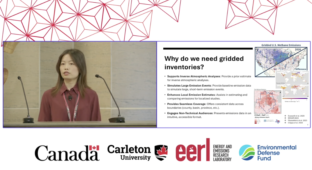
Day 1, Session 2 “Methane Inventories II”
Lightning Talk: Watch the video
Poster Presentation: Available throughout the event
View Poster (PDF)
The Problem: Inadequate Spatial Grids Limit Action
Current GHG inventories often rely on latitude–longitude grids (graticule) that vary in cell size and shape across latitudes. This results in:
- Inflated emission densities in high-latitude regions
- Distorted visualization and interpretation
- Difficulties in inter-cell comparison and data integration
These spatial inconsistencies hinder emission attribution, mitigation planning, and multi-sensor data fusion.
Imagine referencing emissions from any facility, basin, or region using a single, equal-area, hierarchical grid. Such a framework enables:
- Seamless reconciliation of bottom-up and top-down inventories
- Precise source attribution across spatial and administrative boundaries
- Consistent integration of multi-source, multi-temporal data
- Spatial indexing of metadata for root cause analysis
Our Solution: rHEALPix Discrete Global Grid Systems (DGGS)
We applied the rHEALPix DGGS to methane emissions in Alberta to demonstrate:
- True emission intensity comparisons across space and time
- Aggregation from facility to national scale
- Precise tracking of persistent emission hotspots
- Informed design of satellite and aerial monitoring strategies
The fixed, equal-area, hierarchical structure of DGGS presents a robust spatial backbone for next-generation methane inventories and supports actionable insights across scales.
Thank you to the CanCH4 organizers and attendees for an engaging and inspiring symposium.
We look forward to continued collaboration in advancing spatially explicit methane monitoring.